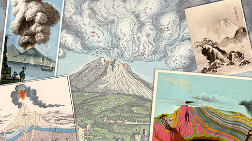
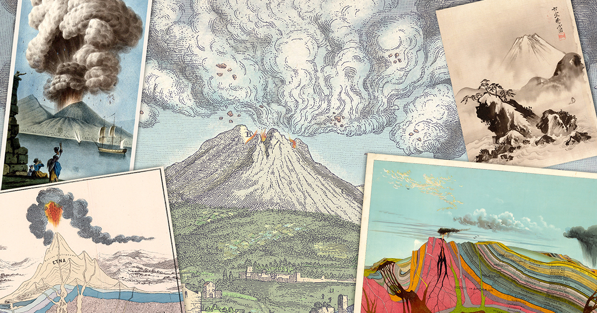
From Pinatubo to Prediction: The Quest for Reliable Volcanic Eruption Forecasts
On a summer day in 1991, the world watched as Mount Pinatubo in the Philippines turned from a sleeping giant into a devastating force. Within hours, explosions rocked the landscape, and a column of ash rose nearly 35 kilometers into the atmosphere. The eruption, which climaxed on June 15, produced pyroclastic flows—fast-moving avalanches of superheated gas and rock—that scoured the mountainside, obliterating the summit and leaving behind a massive crater. Over the following days, ashfall blanketed vast areas, and the eruption ultimately claimed more than 800 lives. This event was not just a tragedy; it was a stark reminder of how little warning we had. Today, scientists are working tirelessly to answer a pressing question: Will we ever be able to forecast volcanic eruptions with the same reliability as weather?
The Pinatubo Lesson: A Wake-Up Call
The 1991 eruption of Mount Pinatubo was a turning point in volcanology. Although geologists had detected increasing seismic activity weeks before the main event, the precise timing and magnitude remained elusive. The eruption’s sudden escalation caught many off guard, and the devastation underscored the need for more accurate prediction methods. Scientists realized that understanding the subtle signals beneath a volcano—such as rising magma, gas emissions, and ground swelling—could be the key to saving lives. Today, monitoring networks are far more advanced, but the challenges remain immense.
How Volcanoes Are Monitored Today
Modern volcanologists rely on a suite of technologies to keep a constant watch on restless volcanoes. These methods provide a wealth of data, yet each has its limitations. Below are the primary monitoring techniques:
Seismic Activity
Earthquakes are the most common precursors to an eruption. As magma moves upward through the Earth's crust, it fractures rock, generating tiny tremors. Networks of seismometers record these vibrations in real time. An increase in the frequency and depth of earthquakes often signals that magma is on the move. However, not all seismic swarms lead to an eruption, distinguishing restless magma from harmless disturbances remains tricky.
Gas Emissions
Volcanoes release gases such as sulfur dioxide (SO₂) and carbon dioxide (CO₂) before and during eruptions. Rising SO₂ levels, in particular, can indicate fresh magma near the surface. Scientists use ground-based instruments and satellite sensors to measure gas plumes. Yet, weather conditions and volcanic topography can obscure these readings, making it difficult to separate background noise from true eruption precursors.
Ground Deformation
As magma accumulates beneath a volcano, the ground can swell or tilt. Using GPS receivers, radar satellites (InSAR), and tiltmeters, scientists detect subtle changes in the landscape. The infamous “bulging” of Mount St. Helens in 1980 gave early warnings of its catastrophic eruption. Still, similar deformation can occur without any eruption, complicating forecasts.
The Challenges of Forecasting
Even with advanced monitoring, translating raw data into reliable predictions is fraught with difficulties. One major hurdle is that volcanic systems are incredibly complex. Magma can stall, shift direction, or even cool and solidify before reaching the surface. Precursors—such as increased seismicity or gas emissions—do not always follow a predictable timeline. Furthermore, each volcano behaves differently; what works for a shield volcano in Hawaii may be useless for a stratovolcano like Pinatubo. Probability is another issue: scientists can often state that an eruption is likely, but phrasing conclusive "this will happen on Tuesday" remains out of reach.
The Future: Toward Weather-Like Forecasting
The dream of anticipating eruptions with the precision of a weather forecast is advancing on several fronts. Artificial intelligence and machine learning are being trained on decades of historical eruption data to spot subtle patterns that humans might miss. These algorithms can analyze vast datasets from seismic, gas, and deformation sensors, flagging anomalies in real time. In parallel, new satellite constellations—like those from NASA and ESA—promise near-continuous global coverage, allowing scientists to track even remote volcanoes. Denser ground-based sensor networks, combined with improved communication systems, could soon provide early warnings hours or even days in advance. As discussed in the challenges, however, translating these technological advances into foolproof forecasts will require a deeper understanding of the underlying physics of magma movement.
Conclusion: A Work in Progress
While we are not yet able to forecast volcanic eruptions with the reliability of a daily weather report, we have made remarkable progress. The lessons from Pinatubo have spurred global monitoring initiatives, and each new eruption adds data to the collective knowledge. Scientists remain cautiously optimistic: with continued investment in technology and research, the gap between current capabilities and the ideal forecast is narrowing. Perhaps, within a generation, we will look back on 1991 not as a forgotten tragedy, but as the catalyst for a truly life-saving scientific revolution.
Related Articles
- 5 Essential Facts About GitHub Copilot CLI: Interactive vs. Non-Interactive Modes
- Terminal Mastery: Why the Command Line Endures and How to Supercharge Your Shell
- 10 Reasons Why Switching from OneDrive to Ente Photos Changed My Backup Game
- From Terminal to Observability: The gcx CLI Tool for You and Your AI Agents
- Everything You Need to Know About the Pride Luminance Watch Face in watchOS 26.5
- The Controversy Over Mathematics' Last Axiom: A Q&A Exploration
- How to Spot and Avoid Rogue AI Browser Extensions That Steal Your Data
- Mastering AWS's Latest: A Guide to Claude Opus 4.7 on Bedrock and AWS Interconnect